I actually stopped and asked directions. One of the storekeepers in town that speaks English drew me a sketch map that helped us get on the right road. But his sketch was rough and turned out to not be quite accurate. He showed a path coming off the left side of a curve in the road, and that was accurate, it was WHICH curve that was the problem.
While Bill and Sue explored the path on the first curve with a path that we came to, I stood out on the side of the road and waited for someone to drive by. We had been passed by several pickups and motorcycles on the walk up, but of course when I WANTED a car to come, none did. Finally some guy came by on a motor scooter and I got him to stop. In my horrible (almost non-existent) French I asked where the path to Mt. Duff was, and we were able to communicate enough that I knew THAT path wasn't it. He indicated (sign language) that it was just ahead on the next curve.
There it was, properly marked with a sign that said Mt. Duff.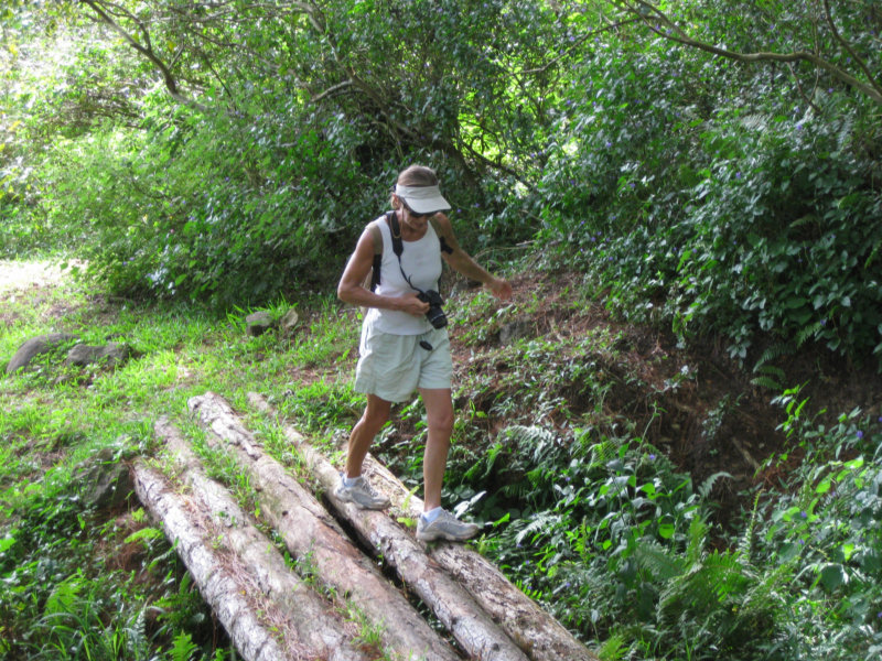
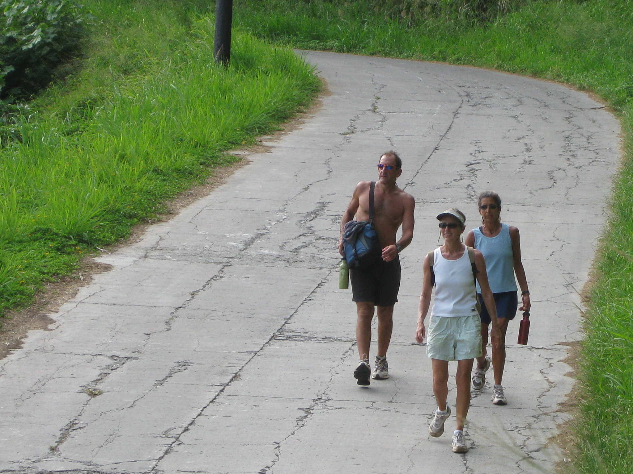
Once on the right path, it was actually a very pleasant walk thru a pine forest--a nice improved path for the tourists. We were joined by a skinny friendly dog of German Shepherd descent who was having a good time romping along with us.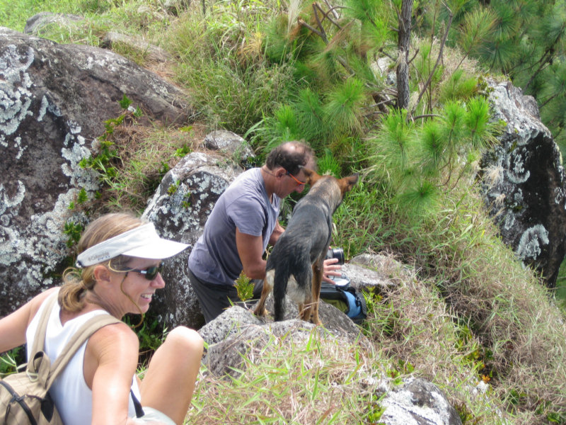
We got to a Y in the path, with 2 signs in Polynesian, one pointing one way and one pointing the other. Neither said Mt. Duff! (this is a British name). If we had actually known when we started WHICH peak was Mt. Duff, it would have been easier. Our dog friend wanted to go to the right. We almost followed him. But Bill said the path to the left looked a little more worn. Hmmm... follow the dog who lives here or the cruiser who doesn't?? We followed Bill and went left.
After the Y in the path, we started scrambling up, still in pine forest. The slippery pine needles made the going tricky. In a few spots, there were lines between trees with knots in them, placed to help us go up and down the steep slope. At the very end, we got above the tree-line, and the path switched to wading through high grass. By this time, Bill was way ahead of us, out of sight, and Jo and Sue and I kept telling each other that there were no snakes in Paradise. (ha ha)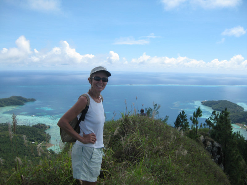
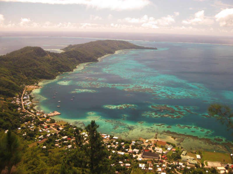
We finally made it to the top and climbed up on the rock outcropping. Wow, wow, WOW! What a view! We could see 50 miles in every direction. Out to the surrounding reef and well beyond. It was a beautiful clear day and we got some great shots of the clear water below.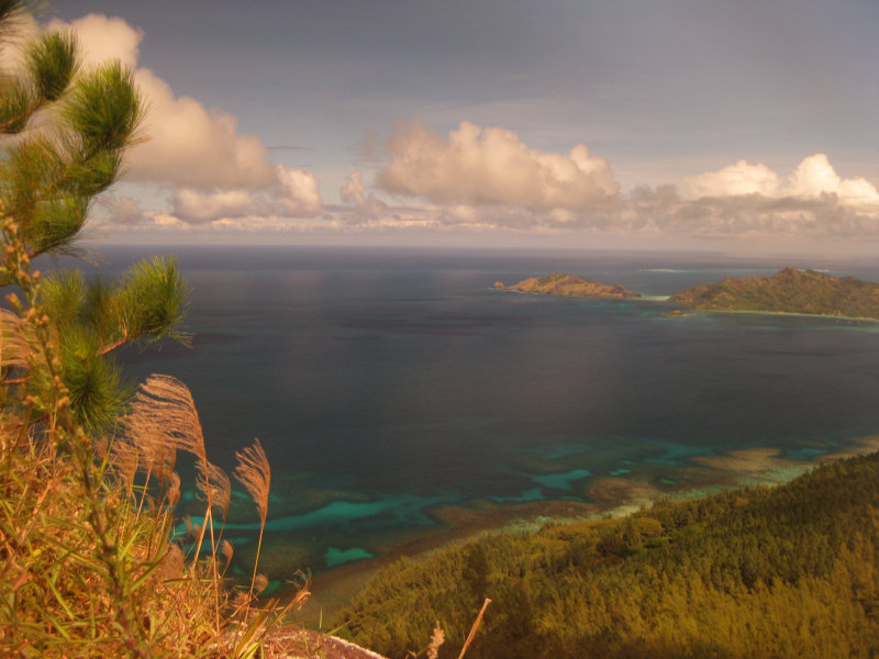
-----
At 4/18/2010 4:04 PM (utc) our position was 23°09.61'S 135°02.27'W
No comments:
Post a Comment