For the whole time we have been here, only our 3 cruising boats have been here. There was another boat (a large private yacht) who came in and anchored right by the pass for 2-3 nights during the stormy weather, but as soon as the weather cleared, they left. And they never went anywhere else but that one anchorage by the pass.
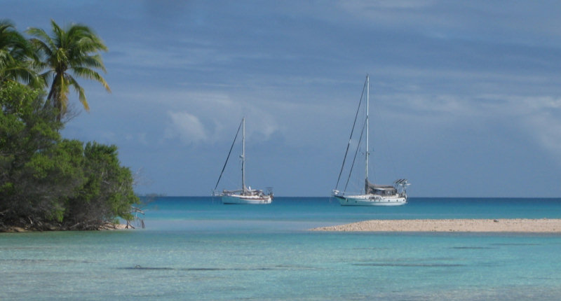
We have anchored in about 6 places and traversed twice the NE and E sectors of the atoll (see below for waypoints). The anchorage that we found as a refuge from the strong SE winds (Taha5, in the SE corner of the atoll) has been the best so far. It is 9 miles SE of the main pass.

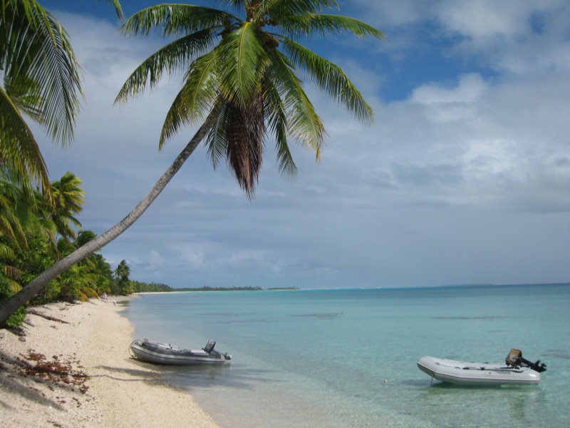
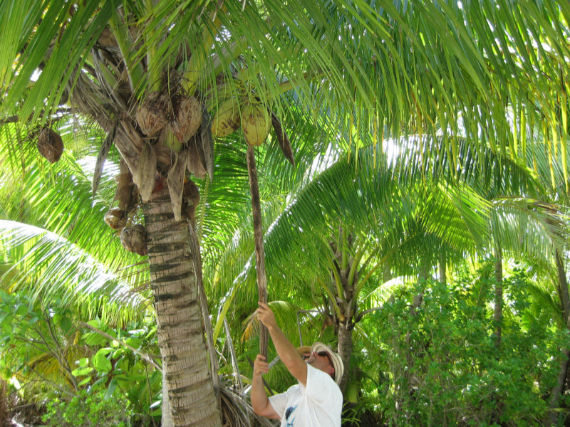
We have a nice anchorage in 15' of water in good sand, with protection from ENE to SSW. There is a nice palm-studded motu protecting us from the wind and chop. We have been shelling and opening coconuts on the beach. And we actually walked around the whole island, and explored the shallow windward lagoon between the motu and the reef (where we could go lobster-walking at night, if we wanted to).

We did drift dives in the passes, and had planned to do a couple of more before the bad weather set in. There are 3 passes side-by-side in Tahanea, so a lot of varied terrain to explore. On the outside of the pass, we saw sharks, dolphins, and big pelagic fish. In the pass... tons and tons of live coral of every variety and all the pretty reef fish you can imagine... We have yet to take a camera on a drift dive yet... still getting used to the procedure.
There is no one living here on this atoll. It has been turned into a park, so there are no permanent habitations and no pearl farms. We saw a 'park ranger' come by via speedboat from a neighboring atoll when we first got here.
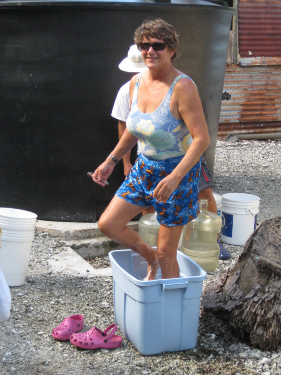
He welcomed us to use the water in the cistern next to the block building at the east pass, which is normally unoccupied. We took our laundry ashore and did it right there at the cistern.
He said he visits Tahanea about once a month to check on things. He and a few friends stayed overnight and left the next morning. The only formalities, when he was here, was to look at our passports to make sure we had cleared in to French Polynesia somewhere else.
John on s/v Nakia has an intriguing Google Earth photo of the lagoon, and the 3/4 of the lagoon we have NOT explored looks very inviting. With a few days of settled weather, we could explore the whole atoll inside the rim, and try to find a location that has perfect protection from the occasional weather systems. We were especially looking at a spot at 16-57N and 144-44.6W, where a spit of coral comes way off the surrounding rim into the lagoon. If an anchorage could be found on both sides of that spit, by moving once, you could get almost complete 360 degree protection.
But alas... there are other atolls to explore, and we promised Visions that we'd hook up with them at Fakarava as soon as the weather moderated. They took off 2 days ago and made it there on a day trip. But the distance is such that we can't easily make it daylight and in the 12 hours imposed by the requirement to enter and leave lagoons at slack current. So we are looking for an overnight window, and are a little more particular about our weather window than they were. We have opted to hang out and let the SE winds drop a little. It looks like today is a good window. But Dave is already talking about coming back, after Visions has blasted West for Tahiti in 10 days. The South Pass at Fakarava is supposed to be some of the best drift diving in all of French Polynesia.
Here are our Tahanea waypoints, for our cruising friends following in our wake.
Anchorages:
TAHA1 S16°51.7245' W144°39.8052' Near E Pass, Moderate depth, some coral
TAHA2 S16°54.8479' W144°34.4900' E side of atoll, nice snorkeling
TAHA3 S16°50.6107' W144°41.8510' Lots coral, some NW protection
TAHA4 S16°51.0551' W144°41.5240' 25-30' LOTS OF CORAL, GOOD SNORKELING, near main pass
TAHA5 S16°57.2234' W144°34.8063' 14' SAND, FEW CORAL HEADS, GOOD PROT ENE TO SSW
Day snorkel spots
TAHA6 S16°52.1230' W144°37.8250' DAY ANCHORAGE. GOOD SNORKELING, ANCHOR 25' SOME HEADS
T16 S16°54.4110' W144°34.4916' NICE HEADS
T17 S16°52.5911' W144°36.0481' SNORKELING
Going in the Pass
TAHAAPPR S16°50.1375' W144°39.2266'
TAHAPASS S16°50.9968' W144°41.0125'
TAHA IN S16°51.5110' W144°41.1084'
Route from Taha5 back to Middle Pass
TH RT#1 S16°56.6190' W144°35.5768' There ARE isolated heads on this route, but easily
TH RT#2 S16°56.1030' W144°36.4693' spied with a good deck watch
TH RT#3 S16°54.4900' W144°38.0397' Depths 75-100 feet, with heads at 2'
TH RT#4 S16°53.5460' W144°38.7766'
TH RT#5 S16°51.8160' W144°41.0232'
Easiest navigation between anchorages is close around the rim. Stay in ~60. Only dicey spot is at Taha6. Easily seen and avoided from the deck on a reasonable day, but we recommend a stop to snorkel. This was the best snorkeling IN the lagoon. There is a pinnacle that comes up from about 40' with tons of pretty fish and sea life at about 5' deep, easy dinghy (or moderate swim) distance from Taha6.
-----
At 5/17/2010 5:56 PM (utc) our position was 16°57.20'S 144°34.80'W
No comments:
Post a Comment