We escaped from Cartagena yesterday about 8:30 am.
Since it was Sunday, we had to pay the Club Nautico diver ($10) extra to make a special trip in to get us untied from the bottom. (At Club Nautico they have a strange med-moor arrangement where you tie your outer end to some chains on the bottom).
We got diesel fuel at the Club de Pesca fuel dock for $3.65/gal and then headed out of Boca Grande towards the South. We decided to anchor in Baru rather than the Rosarios (both about 15 miles S of Cartagena), because we knew several friends were anchored there, and we'd never been there.
It was pretty bizarre coming into the bay (following waypoints from Que Linda). There is a big sandbar and all the rich Colombians are partying on the sandbar. Just like Marker 21. Except you can get a full meal sitting in the water.
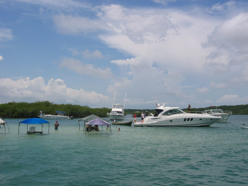
Our friends Sonny and Kay on Valentina have been haning out in the Baru anchorage on and off for a month. Plus Que Linda and Morgan are here too. It is a completely protected lagoon, about 20'-25' deep. They are here mainly just getting away from the 'Big City' and the dirty water of Cartagena.
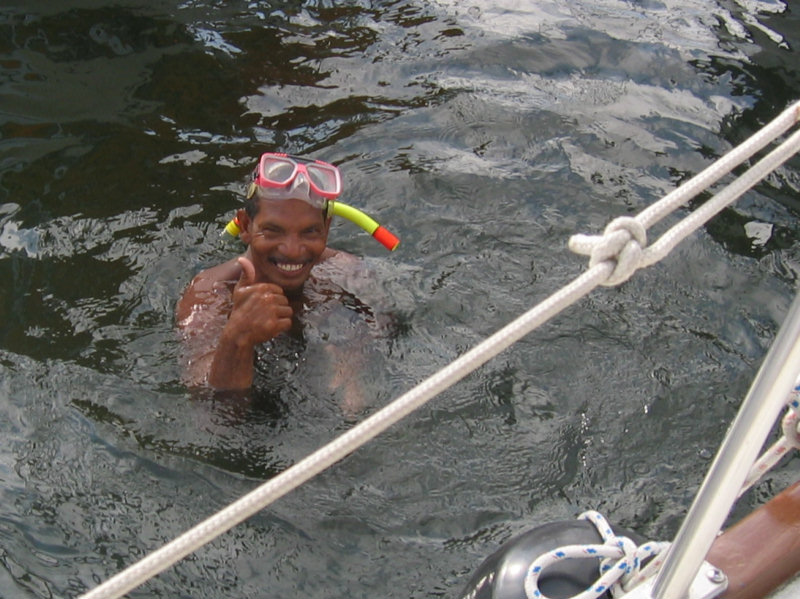
We spent OUR afternoon scrubbing bottom. Considering that Cartagena is the worst port Dave or I have ever been in for bottom growth, it wasn't too bad. We paid Jaime at the marina $20 about every 2 weeks to keep the barnacles off our bottom. He was mostly successful. I kept meaning to take a picture of the unattended boat next to us at the marina... it had 3 layers of really big barnacles growing.. about 2 inches off the hull. Dave had had Jaime 'bag' our prop when we first got there, so the prop wasn't too bad.
We were going to boogy off today for Panama, but our friends told us there may be a potluck here tonight at Robert & Carmen's house on the hill. We don't have to be in Panama until about the 10th, to get ready for Nicki's visit, and we could use another day to get ourselves organized for sea.
I'd like to get Dave to install our new AIS system, so we can play with it while we're underway. (AIS stands for Automatic Identification System, and ships broadcast a short message on a VHF frequency identifying them and saying their speed and direction... you feed this into your Navigation software and you can visualize the ships on your chart, and see if you and they are on a collision course).
No comments:
Post a Comment