-----
Sherry & Dave
On our way from French Polynesia toward Tonga
http://svsoggypaws.blogspot.com
At 8/17/2011 10:01 PM (utc) our position was 14°47.50'S 157°58.57'W
http://svsoggypaws.com/currentposition.htm
At 8/17/2011 10:01 PM (utc) our position was 14°47.50'S 157°58.57'W
http://svsoggypaws.com/currentposition.htm
We have had a lovely 24 hours. The wind has been pretty steady at 12-14 knots, and shifting in a favorable direction. The seas have been going down, the weather fair, and we have a full moon for most of the night. We've hardly had to touch the sails in 24 hours, and the only messing with the autopilot has been to tweak it to point more at our final destination.
We are still in VHF contact with Dreamaway, who left about 45 minutes behind us. They are about 10 miles ahead of us.
We've been monitoring and checking in on several SSB nets. First, the afternoon 'South Pacific Cruiser's Net' and the morning 'Pacific Reef Runner's Net'. These two are nets set up by different groups of boats that are 'puddle jumping' this year. So they are moving nets that will likely disband as the boats arrive in Samoa and Tonga and form up different nets for their onward passages to NZ or Australia. We have also been checking in on the evening Pacific Seafarer's Net--our old friends based in Hawaii, California, and NZ who track Hams on boats all over the Pacific.
Plus we tried to tune up the Fiji-based 'Rag of the Air Net' (8173 1900z) this morning--but copy was poor--maybe it will be better tomorrow as we get closer to Fiji.
Our current sailing conditions are fantastic, but they are forecast to get really light tomorrow. We have about 24 hours of barely-sailable wind, as a front passes south of us, and then they should fill in for our last 24 hours to Suwarrow.
Though we are sad to miss hooking up with many of our friends in Suwarrow, we are happy to hear that the big wave of boats there has started to move on to American Samoa and Tonga. They set a new record of 29 boats in Suwarrow at the same time this year, about a week ago. We have been dragging our heels on the way there, hoping that the numbers will be down by the time we get there. It's a remote place that should be enjoyed by 'less than a mob'. And of course, anchoring will be easier in the deep water with fewer boats to worry about.
We are sad to report that one boat we are acquainted with, Ri Ri, was lost on the reef at Palmerston Atoll yesterday. We haven't been able to get all the details, but Ri Ri was on a mooring there and apparently broke free. (no word yet on whether it was mooring equipment that failed, or boat-based equipment, and how they got so stuck so fast that they couldn't get off). A huge effort was made to pull her off the reef, but they eventually gave up that effort and started just trying to salvage stuff inside. So Frank and his girlfriend are fine, but are sitting on a pile of used boat gear in Palmerston, wondering what to do next. Very sad. As always, a number of cruisers are headed for Palmerston to help out as much as possible--and one has already promised them passage on to Tonga when they are ready.
-----
At 8/17/2011 6:09 PM (utc) our position was 14°55.01'S 157°38.41'W
http://svsoggypaws.com/currentposition.htm
After a "Man Overboard Drill" to retrieve Dave's hat (outside the pass, in the calm waters) we had the sails set and on our way by about 9:45am.
It was a beautiful day, with about 15-16 knots of wind, well south of east. Of the 5 boats that set out around the same time (Soggy Paws, Dreamaway, Loose Pointer, Blue Moon, and Night Fly), all set out on port tack to take advantage of the southerly direction of the wind. The forecast is for the wind to back to the NE eventually, so staying a little south of the rhumb line will enable us to gybe to starboard tack when the wind goes NE.
We didn't bother fishing--too many other distractions, and Dave doesn't like cleaning fish underway. So we fish when coming into an atoll, but not on leaving. Though from our diving, the fishing near the pass should be fantastic. We saw Wahoo, Tuna, Jacks, and big Snapper on our dives.
We set up in our Dead Down Wind (DDW) configuration, with the Genoa poled to port, the Main vanged to starboard, and the Staysail sheeted in tight to starboard (to stop the rolling). In 15 knots of wind, this is a very stable and reasonably fast configuration for us. In the last few downwind hops, we have tried other configurations and none has worked as well. (Genoa alone on a pole, genoa and reefed main, etc). With this configuration, we have about 45 degrees of directional latitude, so we could accommodate the slow wind shift without a lot of sail handling.
We sailed like this all through the day and until our 1am watch change, when the wind had backed around to a more easterly direction, and we threw the main over to sail on a starboard tack broad reach, in a WNW direction. Unfortunately, the wind had eased during the night and we're slopping around a bit, but it's not too bad. Our speed is down to about 4.5 knots.
Current ETA Suwarrow is mid-day Saturday. 457 Miles to go.
-----
At 8/16/2011 5:42 PM (utc) our position was 16°14.19'S 155°50.92'W
http://svsoggypaws.com/currentposition.htm
We have had campfires on the beach every night, and every day there was another activity--diving, snorkeling, beach walking, coconut crab hunting, lobstering (at night), and always someone to do it with. We could easily stay here for a month.
But the wind has filled in and there's a good weather window for the 4-5 day trip to Suwarrow.
Don Quixote left yesterday for Aitutake, and everyone else is leaving today for Suwarrow.
I hope to get back-post more details and pictures from our time here. But for now... have to go get ready to haul anchor!
-----
At 8/15/2011 5:12 PM (utc) our position was 16°46.69'S 153°57.07'W
http://svsoggypaws.com/currentposition.htm
But there are two seldom-visited places at the tail end of French Polynesia (after we have checked out)... Maupiti and Mopelia.
Maupiti is only 25 miles from Bora Bora. But it is a little problematic this time of year--the pass faces south and if there's much of a southerly swell running, it can be impassable. We wanted to go there, but with the current weather, we could get in, but might get trapped there for a few days. So we chose instead to go directly to Mopelia.
Mopelia is 130 miles downwind from Bora Bora. There used to be a village at Mopelia, but a large cyclone in the 90's swept the town away. Now there are only a couple of families living in the southern motu. There is no store. There is no supply boat. There are no charter boats. There are no tourists.
Our friends on Don Quixote made an unplanned stop here a couple of days ago and have said "we may never leave". It is a Tuamotu in the Society Islands--far from the tourist crowds--almost unihabited--great diving--beautiful beaches--clear water. (See Don Quixote's blog link on the left).
We made the overnight jump last night, and came in the pass an hour ago. We too think we have arrived in Paradise. Arriving boats can pick their own half mile of deserted beach to pull up in front of. We are anchored in 20' of sand, near some nice snorkeling coral heads, off a beautiful palm-studded white sand beach. Another boat here, Loose Pointer, just made a dive outside the pass and said it was the best diving he has done in a LONG time.
The weather will be too light to head NW to Suwarrow for 4-5 days. So we are 'stuck' here til at least the 15th. Darn!!
Bonfire on the beach tonight--full moon. Wish you all could be here with us!!
-----
Sherry & Dave
In French Polynesia til August, then west toward Tonga
http://svsoggypaws.blogspot.com
At 8/11/2011 1:08 AM (utc) our position was 16°46.70'S 153°57.07'W
http://svsoggypaws.com/currentposition.htm
Sunday was spent reorganizing our boat for 'at sea' conditions, and putting away the toys (kayaks and bicycles) we got out for Fred & Suki's visit. Early Monday morning, we left our nice mooring (and good wifi) at Bloody Mary's and headed for town, where we fill up with fuel, got groceries, and checked out of French Polynesia for good.
Once we got our town chores done, we moved to the pretty anchorage west of the north end of Motu Toopua. This is a really nice spot--pretty, somewhat remote from town, and with OK wifi. Wish we could have stayed there longer. But it was time to move on.
We sailed out the pass at Bora Bora at 0845 this morning, and saw a couple of whales!! What a nice start for a passage.
We have been mostly running Dead Down Wind (DDW) all day. We are using the 'Tom Service' configuration--genoa on a pole to windward, main vanged out to leeward, and the staysail in the middle. This is surprisingly stable, even in pretty big seas. Our autopilot will hold a course with this configuration pretty well, and it's the maximum sail area we can spread.
In the late afternoon, we tried going over on a starboard tack for awhile. It worked for a bit, but then the wind came around, and we went back to our DDW configuration.
The wind is only about 12 knots, and the seas are calming down. But we would like to make the pass at Mopelia by about noon, so we are hoping for a couple of more knots of wind. For awhile we were only making 3.8 knots, and that wouldn't cut it, but we are up to about 4.5-5kts, which will do fine.
-----
Sherry & Dave
In French Polynesia til August, then west toward Tonga
http://svsoggypaws.blogspot.com
At 8/10/2011 5:48 AM (utc) our position was 16°35.94'S 152°37.74'W
http://svsoggypaws.com/currentposition.htm
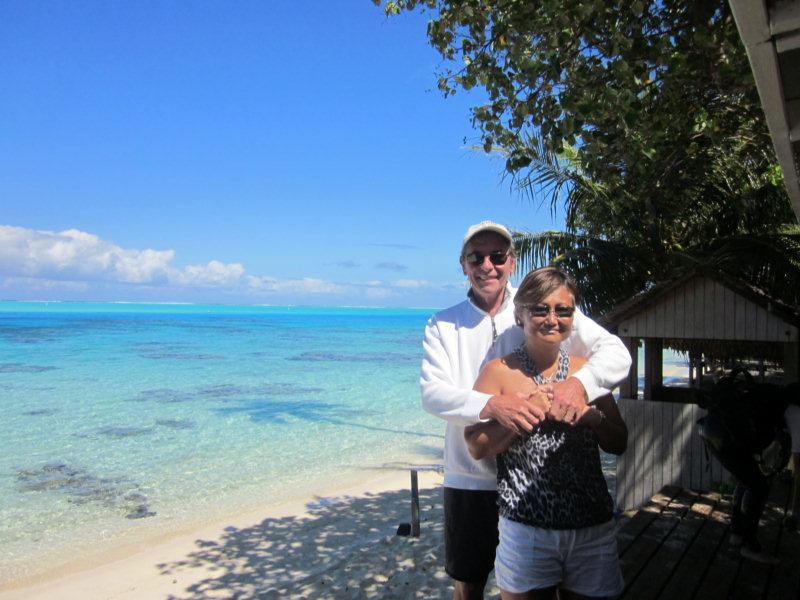
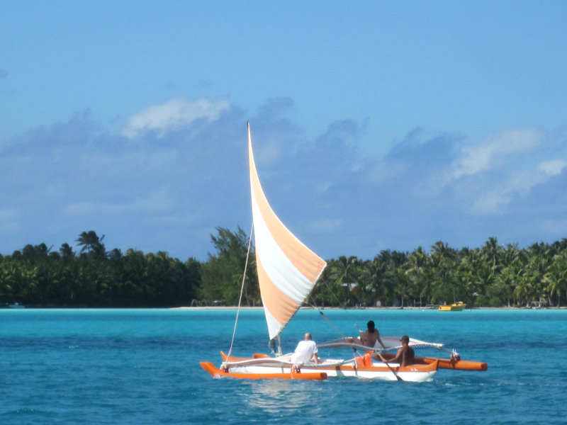
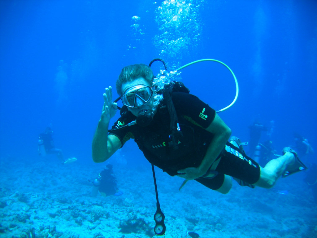
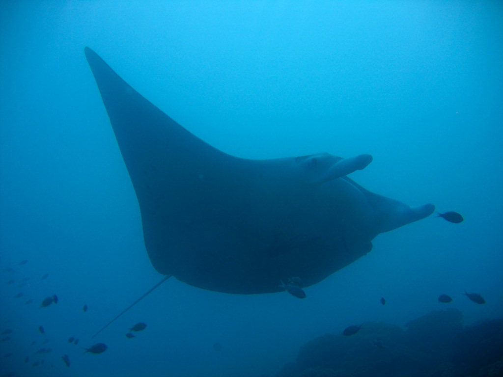

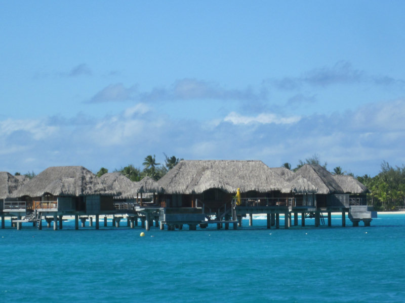
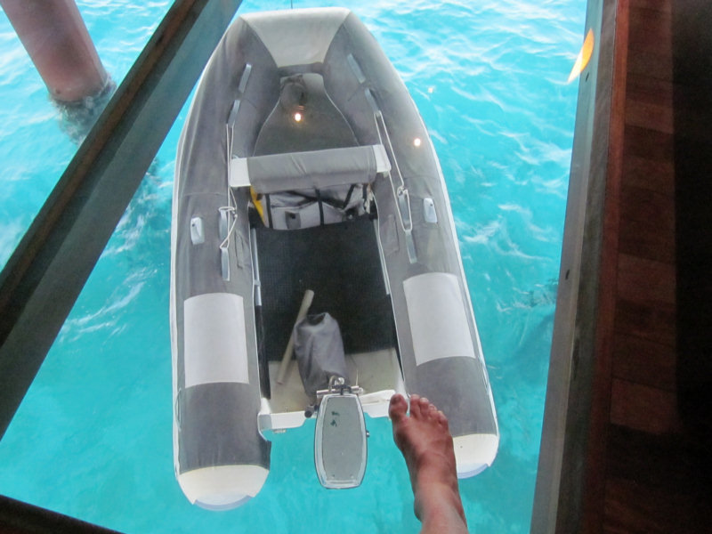
We crossed over from Tahaa to Bora Bora a day or two earlier than we originally planned--there were big winds forecast and we didn't want to get stuck making the crossing in 25 knots and 12' seas. It's only about 25 miles, and downwind, but still... no point in getting all salty if you don't have to.
The cruiser-friendly facilities in Bora Bora are in a state of flux right now. The facility everyone talks about in years past is the Bora Bora Yacht Club. But the cruiser-friendly couple with the lease (Teiva and Jessica), who have overcome several setbacks to build the BBYC into a going concern over the last few years, have been hit with another cyclone and had a falling out with the owner of the property (one issue, we heard, was the liquor license that wasn't). So they have leased another facility closer to town, maybe less cyclone-succeptible, and are in the process of renovating the building and setting up moorings. This new place is called the Mai Kai Marina and Yacht Club.
Right now, the 12 new Mai Kai Moorings are free (until Aug 1), so they have been chock-a-block with freeloading cruisers. There are no shore-side facilities yet at Mai Kai. But the anchoring area near town is 85 feet deep, so anyone who can get a mooring wants one, especially since it is free.
We haven't been down to the Bora Bora Yacht Club yet. But we understand is still sort of operating... they are charging for their moorings, so they are everyone's second choice, and they are further from town. We heard from the grapevine that Teive and Jessica actually own the moorings that are still at the Bora Bora Yacht Club, and they plan on moving them to the Mai Kai eventually. Plans are for a total of 30 moorings eventually at Mai Kai. We don't know about the long term prospects of the BBYC.
We crossed over from Raiatea on a day when everyone else was getting ready for the 25 knot winds in the forecast, so all the moorings were taken in both places. We motored around and scoped out a place behind Motu Toopua that looked good for weathering a blow. But Dave really wanted to get settled close to town, so we could pick up our incoming guests easily.
We finally found a 'shallow' spot in 'only' 65 feet, close inshore by the Mai Kai Marina, and a short dinghy ride to town. Once we got anchored, we feel comfortable enough here that we have passed on several opportunities for mooring buoys. We are actually better protected where we are than we would be on the moorings.
We have spent the last 2 days with our nose to the grindstone--working on clearing out the V-Berth for our incoming guests. We have been so busy in the last 9 months that we have just been jamming stuff in the V-Berth, and it was time to go through everything and organize it better. After 2 days of work, we have reduced the 'stuff' from 6 Rubbermaid tubs to 4, and refreshed our memories about what's in all those tubs. One is 'boat spares' that we have no other place to put. A second is 'new projects'--things we have bought but haven't gotten around to installing. A third is 'computer stuff' (spare monitor, old hard drives, etc) . And the fourth is half-full of food, and topped off with miscellaneous items. These 4 tubs fit on the forward half of the port side setee without taking up too much room.
So the V-Berth is clear, and I've thoroughly cleaned and aired it. It got pretty wet up there in our bash down from Hawaii.
My cousin, Fred Twogood, and his wife Suki, are coming for a week. They flew into Tahiti last night, and are flying here tomorrow evening. We have 6 days of 'fun in Bora Bora' planned for them. Thankfully, it looks like the 20-25 knot winds will start abating tomorrow, so we should be able to explore the whole atoll with them without too much trouble.
-----
At 7/28/2011 1:26 AM (utc) our position was 16°30.06'S 151°45.17'W
http://svsoggypaws.com/currentposition.htm
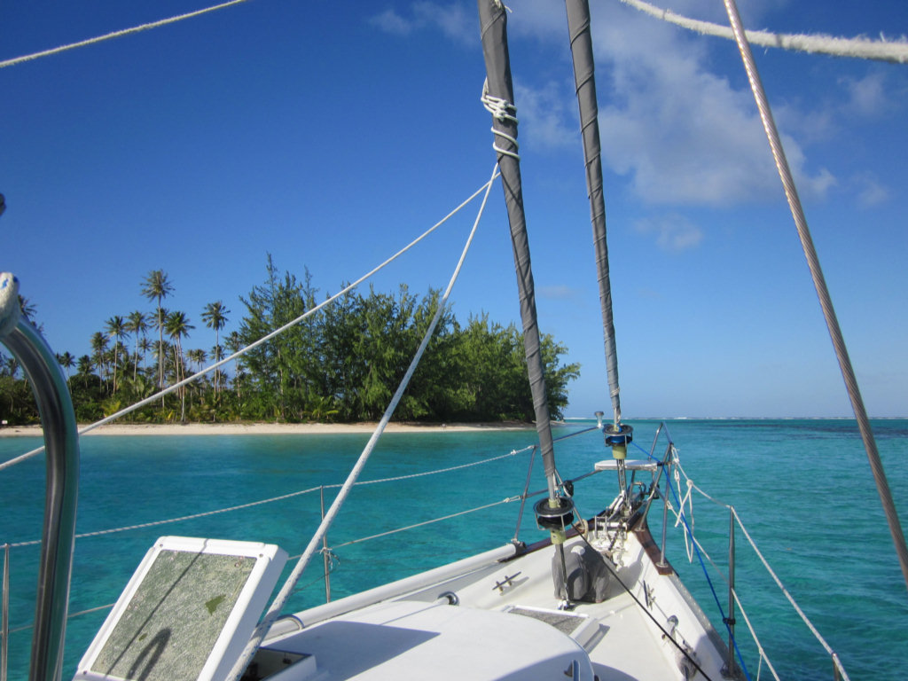
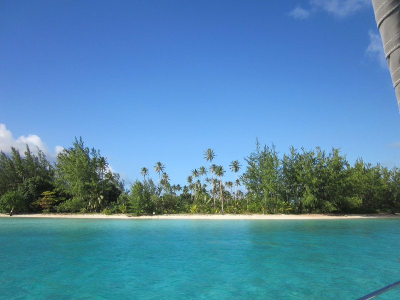
As an aside, our depth sounder has been acting wonky lately--we're still trying to figure out what happened to it. It reads OK in depths from 10 feet to 90 feet, but gets messed up in shallower or deeper water. We can live without the deeper water readings, but not having an accurate sounding in shallow water is nerve-wracking.
So we edged slowly up to the sand bank, with Dave on the bow with his polarized sunglasses on, and me in cockpit reading off depths. Once we got on the bank, the depth sounder was flashing again (grrr!). But occasionally it would stop flashing and display around 8 feet. So we were on, not aground, and it looked like the sand was about the same depth around us. So we threw the anchor out in the lee of the little motu, just off the nice sandy beach, and I jumped in to sound the water around us. Feet on the bottom, hand in the air--if my hand is under water, it is over 7' deep. Fins outstretched adds another 18 inches. So we were in 8-10' of water--plenty of depth for Soggy Paws' 5.5 foot draft.
Ahhh!! Beautiful! Unfortunately, this spot is on the charter boat circuit, so later in the day, two other boats came in and dropped anchor near us. But we knew they would only stay overnight. Though we only planned to stay a day there, we ended up staying two. That meant we would have skip a spot on the west coast of Raiatea for the next anchorage (to stay on the rough schedule we had worked out). But it was worth it just to rest for a day and catch up on laundry and small chores.
The wind was still blowing in the 20 knot range, and forecast to continue to do so for a couple more days. But west of Motu Nao Nao, all was tranquil. We were out of the wind, out of the chop, and anchored in deep sand. We felt fortunate that we were in such a comfortable spot, when we heard our friends on the radio talking about the conditions in their anchorages.
The snorkeling on the coral heads out behind the boat, and ahead to the right, was pretty darned good for this part of French Polynesia--the best we have seen since we left the Tuamotus.
-----
At 7/20/2011 6:29 AM (utc) our position was 16°55.15'S 151°25.91'W
http://svsoggypaws.com/currentposition.htm
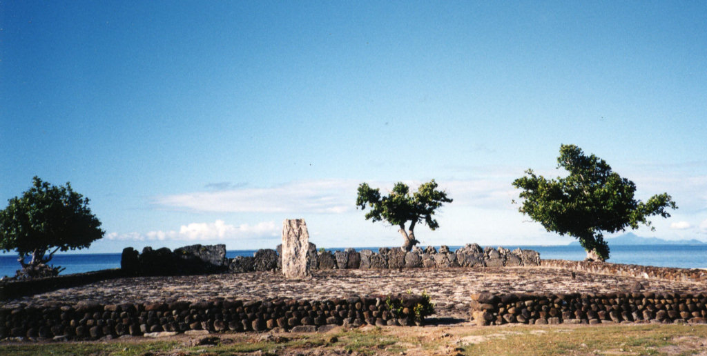
Our friends on Endorfin were anchored 5 miles away off the Marae Taputapuatea (Polynesia religious platform). They said they were in a 15' foot deep sand spot and the conditions were OK. They said there was another sand spot that looked good just next to them. So we headed out there. It turned out there were 3 of these 'sand spots'. Another boat had taken the bigger one next to them, and there wasn't room for us to anchor there too.
So we went to the 3rd spot and looked it over. The depths went from 100' to 65' to 15' in about the length of Soggy Paws. The water was very clear and we could see everything on the top. It looked like good sand with only one low coral head. So we dropped the anchor somewhat toward the windward side of the sand spot, in the middle (left and right-wise). We backed down hard, and it seemed to be holding fine. So I donned mask and snorkel and went to look at the set. If we dragged off the pinnacle, there would be no-resetting.
Nope--that 'sand' was NOT sand, but white-colored sheet rock. We had only about an inch of the point on our 88 pound Delta anchor in a small hole. Definitely not good enough. I criss-crossed the top of the pinnacle and there wasn't 10 grains of sand on the whole thing. But, there was a very nice ledge, that, if I could... just... drag... the... anchor... Nope--I could easily drag Island Time's 60 lb anchor and 50' of chain around, but this beast (with 150' of chain out) I couldn't budge.
So I swam back and told Dave we had to move the anchor about a boat-length further to windward, and drop it just off the edge of the pinnacle. That sounds easy--clear water, and we're hardly moving it, but with the 20 knot winds, it was hard getting into just the right place. The next time we dropped, we were just literally 2 feet short, and the next time only about a foot short (Dave didn't want to drop it over the abyss, so he was a little short each time). Each time, I had to jump in the water and go visually check the anchor. Finally on the 5th time, we got it over the ledge and the point and the whole fluke area were set well into a nook. And honestly we weren't screaming at each other. We both knew how important it was to get it right, and how difficult a thing we were trying to do. Fortunately, with our big strong electric windlass, it wasn't too much of a chore.
We still spent a somewhat uneasy night, with the wind still blowing 20-25 knots (but fortunately not gusting to 40 like the previous night). We have our old Garmin GPSMap 76 hand-held GPS mounted in our cabin, and had it on and zoomed in, and the anchor alarm set. I could sit up, turn on the backlight, and verify we were still in the right spot, without hardly waking up.
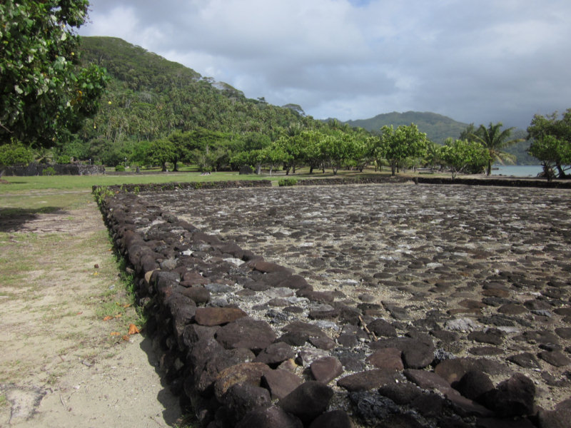
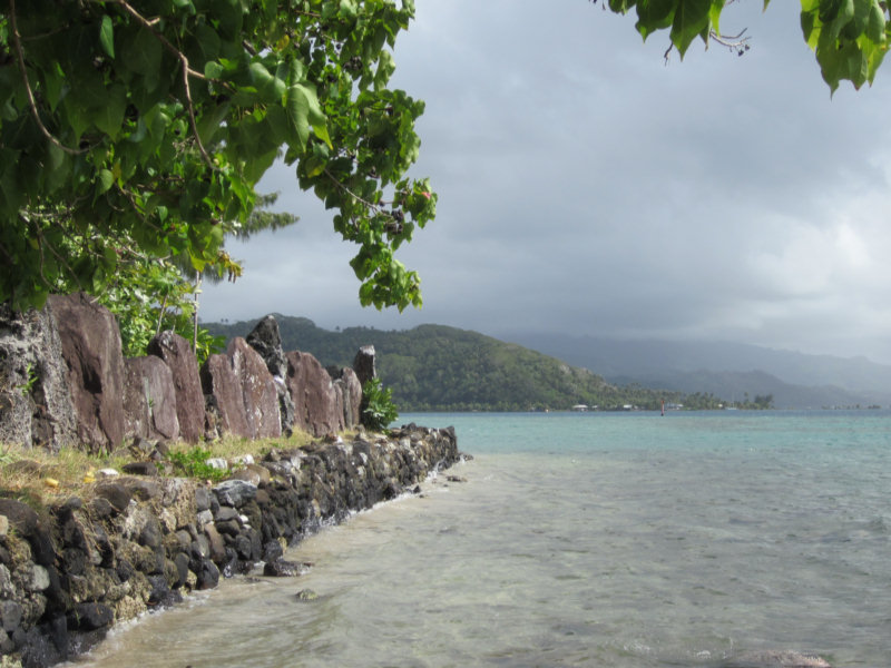
In the morning, we felt comfortable enough with our set that we dinghied ashore and walked around the Marea for an hour or so. This is an extensive group of stone platforms--the largest and most sacred in the Society Islands. There were some nice plaques in English, with illustrations, describing the marae, their purpose and construction, and a little about the social structure in the Societies. Because the Polynesians never had a written language, most of what we know of their history comes from the detailed accounts from the first explorers, especially Captain James Cook, who made 3 trips to French Polynesia. It was interesting to note the footnotes on the sketches on the plaques--one was drawn by Captain William Bligh, and most were done by Webber, one of Captain Cook's 'resident artists', who were carried on board just for such documentation of culture, plants, and animals they discovered.
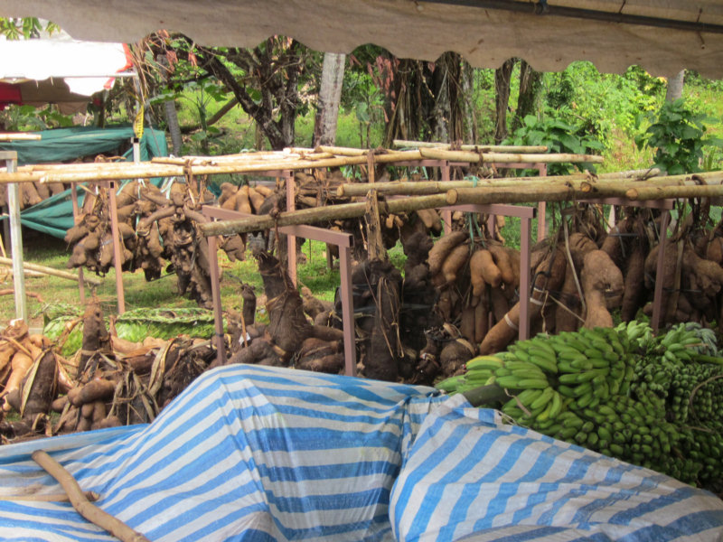
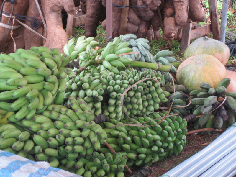
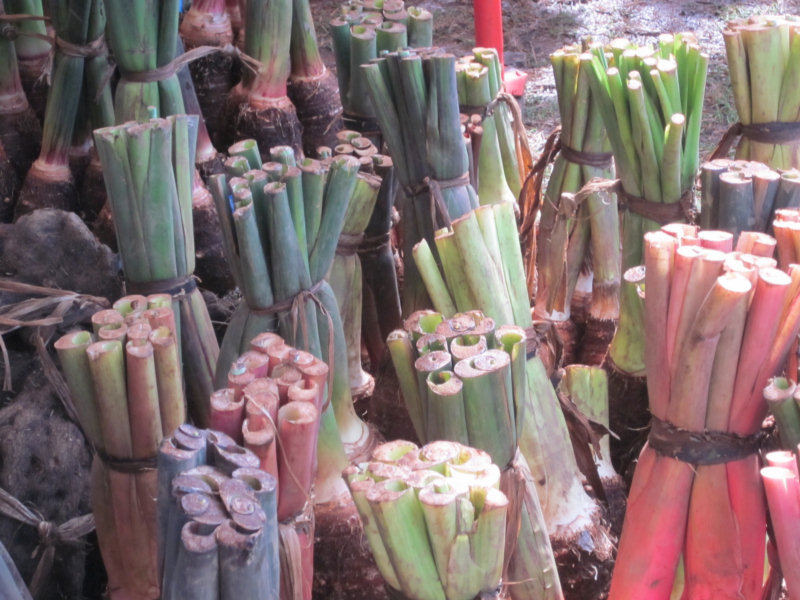
Also in the Taputapuatea area, they were holding an Agricultural Fair. We took some pictures of the strange stuff they had on display.
At 7/18/2011 3:27 AM (utc) our position was 16°49.77'S 151°21.59'W
http://svsoggypaws.com/currentposition.htm